Deployment of a sovereign location reference API for New Caledonia: open API, public website and ESRI-compatible geocoder, integrating cadastre, addresses and POIs on the BAN model.
Context
The Government wanted to unlock geographic information and provide all stakeholders (public services, businesses, citizens) with a sovereign location reference API.
Solution
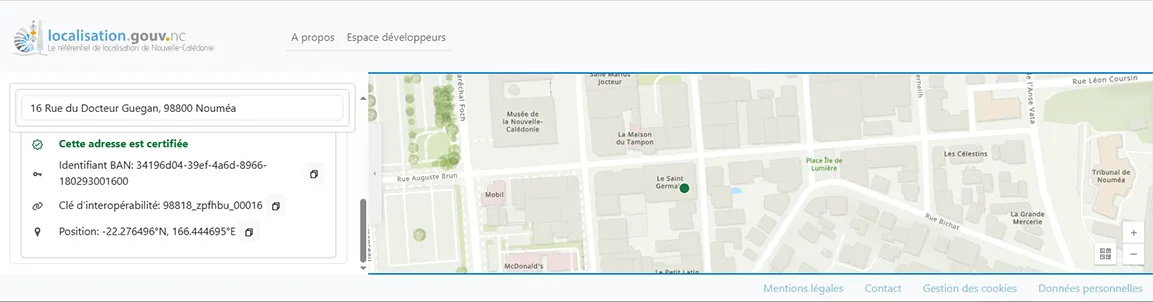
MAGIS structured the massive integration of heterogeneous data (address points, cadastral parcel points and multiple sources of points of interest) made available via an API (machine-to-machine interface for developers and automated tools) but also via a public application.
Technical Architecture
- The location API engine from the metropolitan geospatial platform
- Deeply adapted for the New Caledonian context
- With data processing workflows specific to New Caledonia
- Deployed on government digital infrastructure
- Supported by a public-facing application
- With API extensions developed for direct integration into ESRI tools
Data Processing
- Integration of address points across the territory
- Integration of cadastral parcel points
- Generation of points of interest through heterogeneous data fusion
- the REFIL from SERAIL (building reference system)
- the SERAIL atlas
- part of the DITTT BD Loc database (inhabited places, tribes…)